
Tornado Preparedness: Marine and Boating Safety
Tornadoes batter boats, and of all the places where you would want to be when a tornado strikes, a boat is certainly bottom of the list. You’ve seen The Perfect Storm, right?
There’s a whole list of movies which they say you should never watch as in-flight entertainment, but what about the movies to avoid on the cross river ferry? My point exactly. Right, let’s get back to how you can keep yourself and your boat safe during a tornado. I’m going to get a little technical here, so for anybody who gets lost just go back and watch the movie trailer again!
Consider purchasing the following items to help keep your boat safe during a tornado:
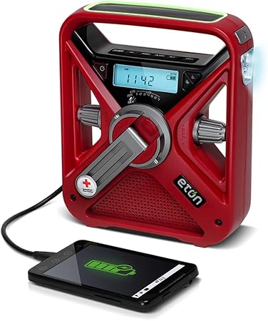
This emergency radio is designed to be used during disasters and emergencies. It has several features, including a rechargeable battery, a solar panel, and a hand turbine power generator.

The SentrySafe safe features a flush-mounted design that is both waterproof and fire-resistant, ensuring long-lasting use and protection for your valuable items. It also comes equipped with a privacy key lock
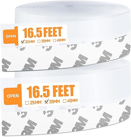
This product is an extra-long window insulation tape that comes in two widths: 1 inch and 1.4 inches, with a total length of 33 feet, which is enough to seal gaps around your doors and windows. It is made from high-grade silicone, which is flexible, durable, and easily cut as needed.
Caught Out at Sea
 Any port can be dangerous in a storm, but there are some considerations for both approaching, leaving and berthing in safe harbor if you’re caught in a tornado system at sea.
- Keep a few options open when navigating through a tornado. This maneuverability might not be so important in the great wide spaces of the North Atlantic, but for restricted places like the Gulf of Mexico, it’s really important. It’s best to avoid areas of restricted movement in these cases.
- On approach to the port, it’s important to know whether the storm is forecast to be perpendicular to the land or running parallel along the coast. If the storm hits the land within around 50 miles of the port, then expect more destruction than those which run parallel to the coast over the land.
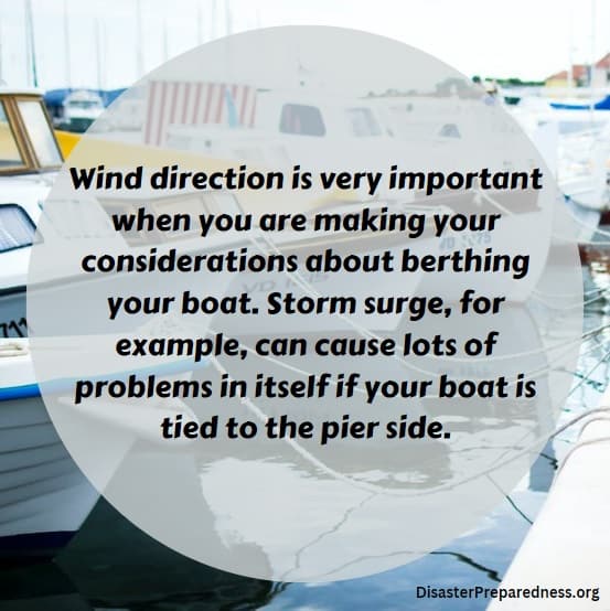
- Wind direction is very important when you are making your considerations about berthing your boat. Storm surge, for example, can cause lots of problems in itself if your boat is tied to the pier side. If the water rises and falls rapidly, that’s not good for vessels which can be left high and dry one minute, and are high above the pier side the next. These can become quickly submerged even during a storm of minimum strength.
The 1-2-3 Rule
If you’re planning a boating trip and want to know more about the possibility of storms arriving whilst you’re all at sea, then think about this:
- 100 mile error radius for your 24hr forecast
- 200 mile error radius for your 48hr forecast
- 300 mile error radius for your 72hr forecast
Essentially, the further from the time of your departure, the less-reliable forecasts tend to be. Keep an eye on weather reports as you approach your boating date.
The Storm Danger Area (And How To Avoid It)
If you’re looking to avoid a particular area that has a storm that might produce tornadoes, there are some steps you can take to plan carefully.
- Plot both your initial position and the storm position on your navigational chart.
- Identify the maximum radius of winds at the above time periods, times of the TCM.
- Apply our 1-2-3 rule at the 24, 48 and 72 hour positions.
- Draw circles around the initial position of the storm with a radius equal to the max radius of the winds in TCM.
- Draw circles around your 24, 48 and 72 hour positions using the same radii.
- Connect tangent lines from each circle along both sides of the track of the storm.
Anywhere enclosed by these tangent lines in a hurricane danger zone and should be avoided.